For brokers & institutional intermediaries only — not a public offering, not for private or retail investors.
← Home
Virtual Site Tour · 8 October 2026

Walk the actual land and the actual grid node — photographed, not rendered

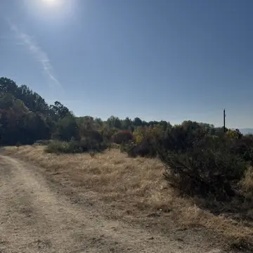
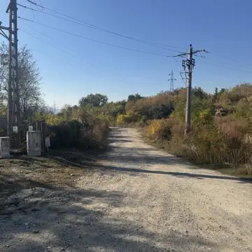
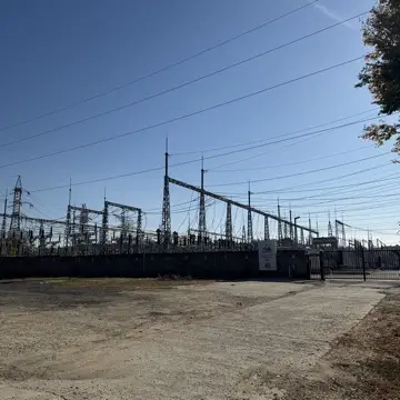
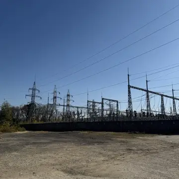
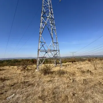
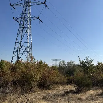
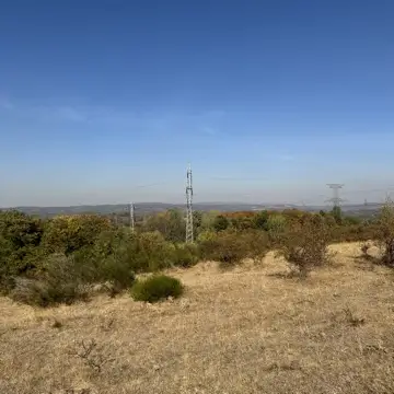
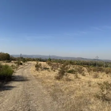
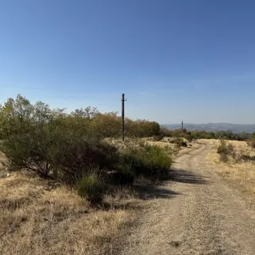
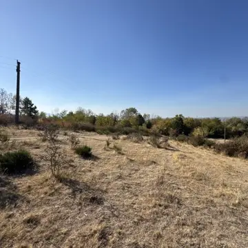
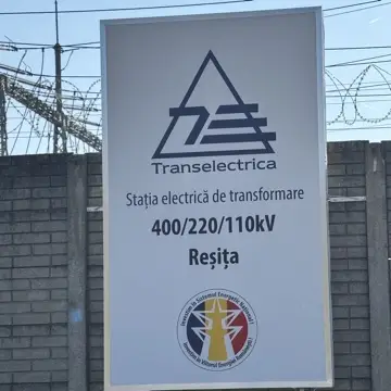
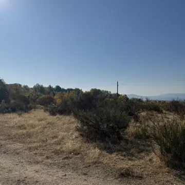
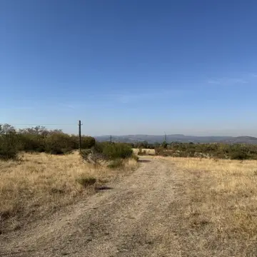
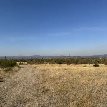
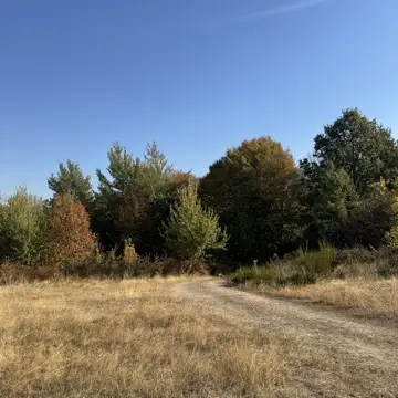
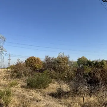
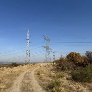
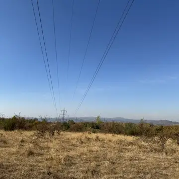
31 original photographs, one per genuinely distinct angle, picked from the full on-site shoot of 8 October 2026 (which ran to roughly 150 frames) — no renders, no stock imagery. They retrace the actual walk from the road access point, through the substation, along the trail, and out into the open parcel. Filter by what you want to see.

Survey data · landowner KML (latitude, longitude)
10 perimeter vertices
  1. 1. 45.34757668, 21.91382212
  2. 2. 45.34758694, 21.91351237
  3. 3. 45.34757400, 21.91329349
  4. 4. 45.34752791, 21.91290809
  5. 5. 45.34737106, 21.91188669
  6. 6. 45.34731050, 21.91145508
  7. 7. 45.34829766, 21.91056074
  8. 8. 45.34916640, 21.91184113
  9. 9. 45.34906218, 21.91223805
  10. 10. 45.34754270, 21.91404874

The map shows the centre only; the perimeter itself is drawn in the plan below. Opens in Google Maps.
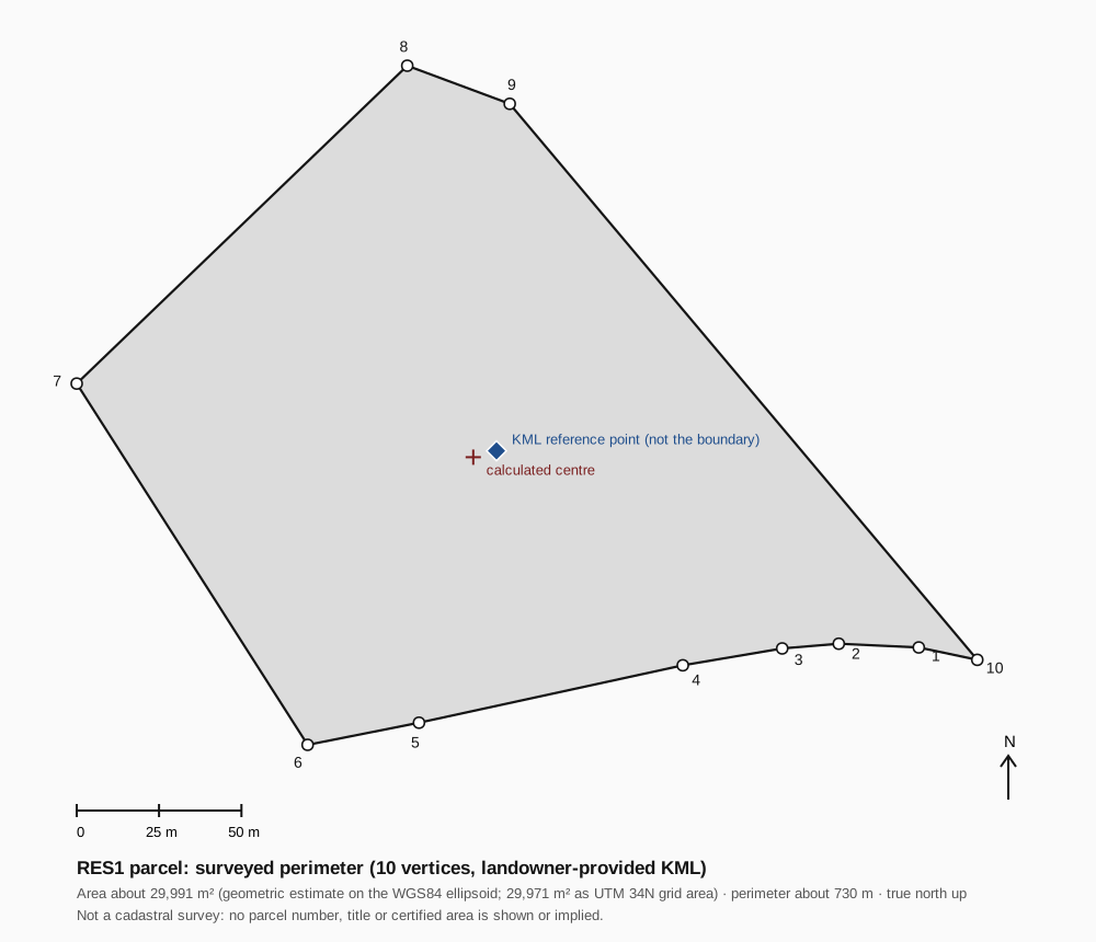
Scaled plan of the RES1 surveyed perimeter, 10 vertices, with the KML reference point, the calculated centre, a scale bar and a north arrow

This perimeter comes from a topographic survey file (KML) the landowner provided. It is not an official cadastral extract and is not tied here to a cadastral parcel number. Its geometric area is about 29,990 square metres (2.999 hectares) on the WGS84 ellipsoid, consistent with the 30,000 square metre figure used elsewhere on this site (a difference of about 0.03 %).
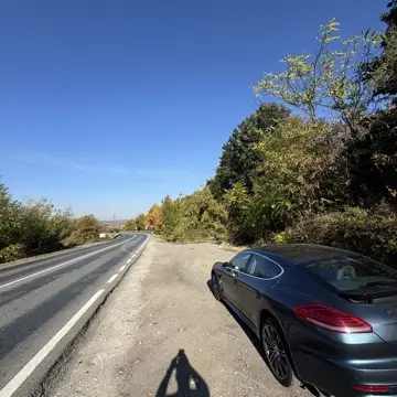
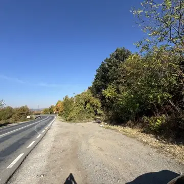
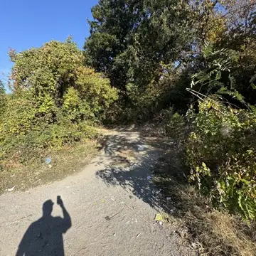
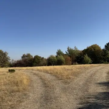
Access road, site RES1, photographed 8 October 2026
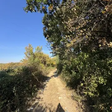
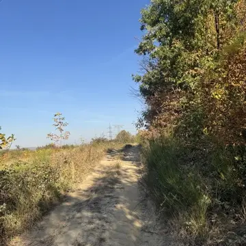
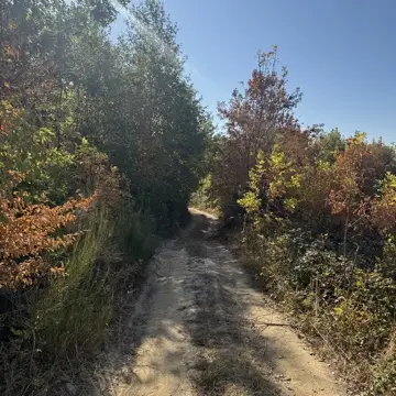
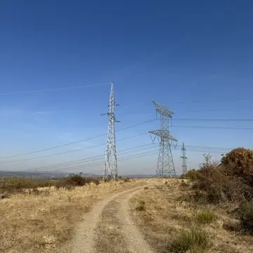
Access trail, site RES1, photographed 8 October 2026
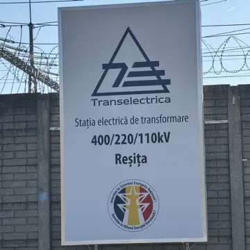
Substation, site RES1, photographed 8 October 2026
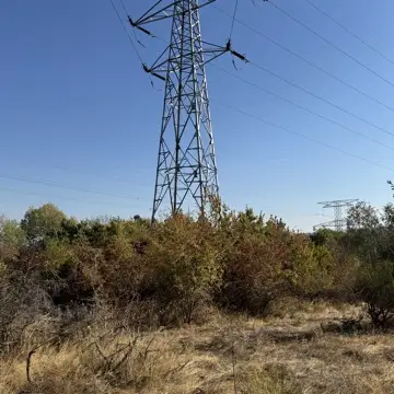
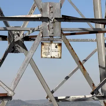
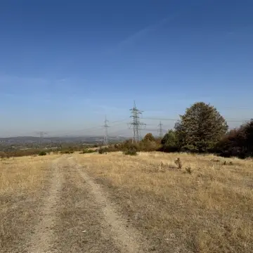
Transmission towers, site RES1, photographed 8 October 2026
Distribution poles, site RES1, photographed 8 October 2026
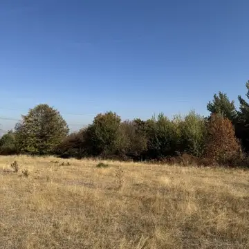
Open parcel, site RES1, photographed 8 October 2026

Full presentation. 98-second walk-through: the land, the grid node, the substation, access and surroundings. 960×540, ~15.6 MB, with English voiceover (ElevenLabs), burned-in subtitles, footage matched to each line of narration, and a direct close for site-evaluation conversations, loads only on play. A 22-second short cut is also available: resumen_terreno_estacion.mp4.
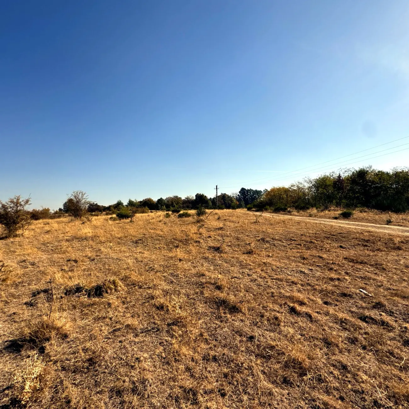
RES1 parcel — on-site photograph of the actual land, 8 Oct 2026
Cadastral · Parcel RES1CF Nr. 51122
30,000 m² · Municipal Industrial Domain
Calea Caransebesului Km 7.5 · Resita · CS · RO
CF Nr.51122
TitularMunicipiul Resita
DomainPublic — concesionabil
EncumbrancesNU SUNT · None
Initial area30,000 m² · ~3 ha
Scalable to~31 ha industrial zone
Concession49 yr · renewable
Purchase routeUnder discussion · no option, no price
HCL voteApproved by phone (8 Oct 2026) · no written resolution yet
Land Control Structure

What a 49-year concession actually gives you

Municipal land tenure under Romanian administrative law offers long-term security with a lower initial capital commitment than outright acquisition. The Municipal Council has approved awarding a 49-year concession (confirmed by phone, 8 October 2026); the written resolution and final signature by the SRL are still pending. A separate route to buy the land is also under discussion with the municipality; no purchase option exists and no price is fixed.

MechanismAdministrative concession (Legea 50/1991)
Land blockSingle unencumbered perimeter — no fragmented parcels, no private expropriation risk
Term49 years — renewable
Legal basisMunicipal HCL vote, qualified majority
Purchase routeUnder discussion with the municipality; no option exists and no price is set (any price would need an ANEVAR valuation)
Initial area~3 ha (initial parcel; written land rights pending)
Max scalable31 ha (extended concession)
How 3→31 ha worksThe 31 ha is the same Calea Caransebesului municipal industrial corridor — same landowner (Municipiul Resita), same zoning (industrial; to be confirmed by urbanism documents), same legal framework (Legea 50/1991). Expansion to 31 ha is not secured: it depends on further municipal decisions, and no land document for it exists yet.
PUZ statusTo be confirmed
Land use classIndustrial zone (to be confirmed by urbanism documents)
HCL voteApproved by phone (8 Oct 2026) · no written resolution yet — standard administrative procedure under Legea 50/1991
PPC Romania, formerly Enel, now Greece's largest energy group, acquired 9.9 ha adjacent to this site in December 2025 for a 100 MW gas peaking plant. A separate company, a separate project, on the same grid node, noted here as context rather than as proof of this site's own value.
AgreementStrategic partnership · Municipality of Resita · March 2026
Nr. 366Mayor Letter of Support · 15.04.2026
DecreeTechnical Working Group · Mayoral Decree · 30.04.2026
Water supplyMunicipal water connection raised verbally by the Mayor’s office · reported October 2026 · unverified, no written confirmation
Orange RomaniaOrange Business confirmed in writing on 20.10.2026 that it is starting a fibre connection survey; fibre node ~500 m from site; no offer yet
Electricity supplyA second incoming feed (alternate grid direction) raised verbally by the local distributor · reported October 2026 · unverified, no written confirmation
Site Documentation

The land today. The campus it becomes.

The site photography shows the actual parcel area; 400 kV transmission towers are visible in the field documentation, and the renders show Phase 3–4 campus development on this same terrain.
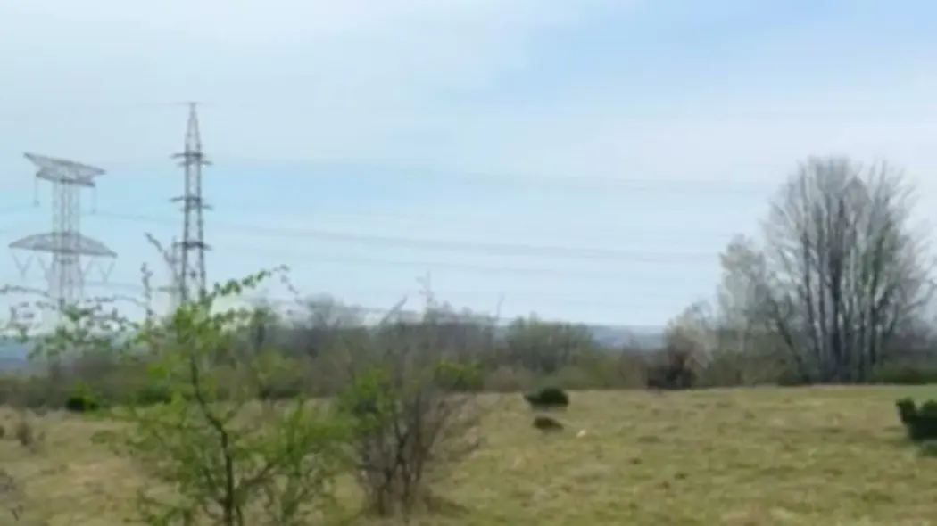
Today
Calea Caransebesului Km 7.5 — The Actual Site
Calea Caransebesului Km 7.5 · Resita · CF Nr. 51122 · ~3 ha initial parcel
CF Nr. 51122 · Concession 49 yr
Site RES1 — 400kV transmission towers adjacent to the land parcel, Resita
400kV Transmission · Direct Adjacency
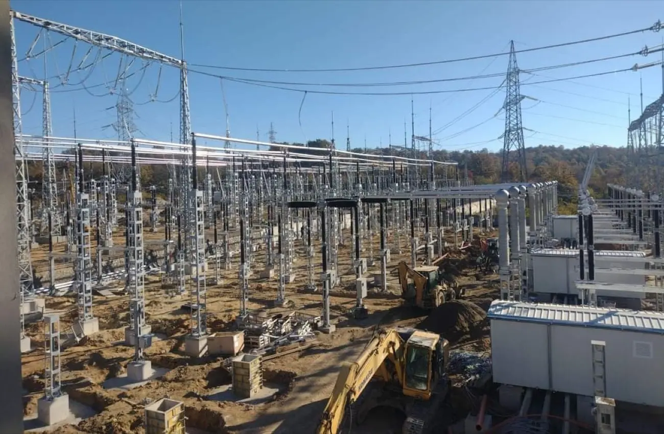
Transelectrica substation under construction — Resita, November 2024
Transelectrica substation · Commissioned 26 May 2026
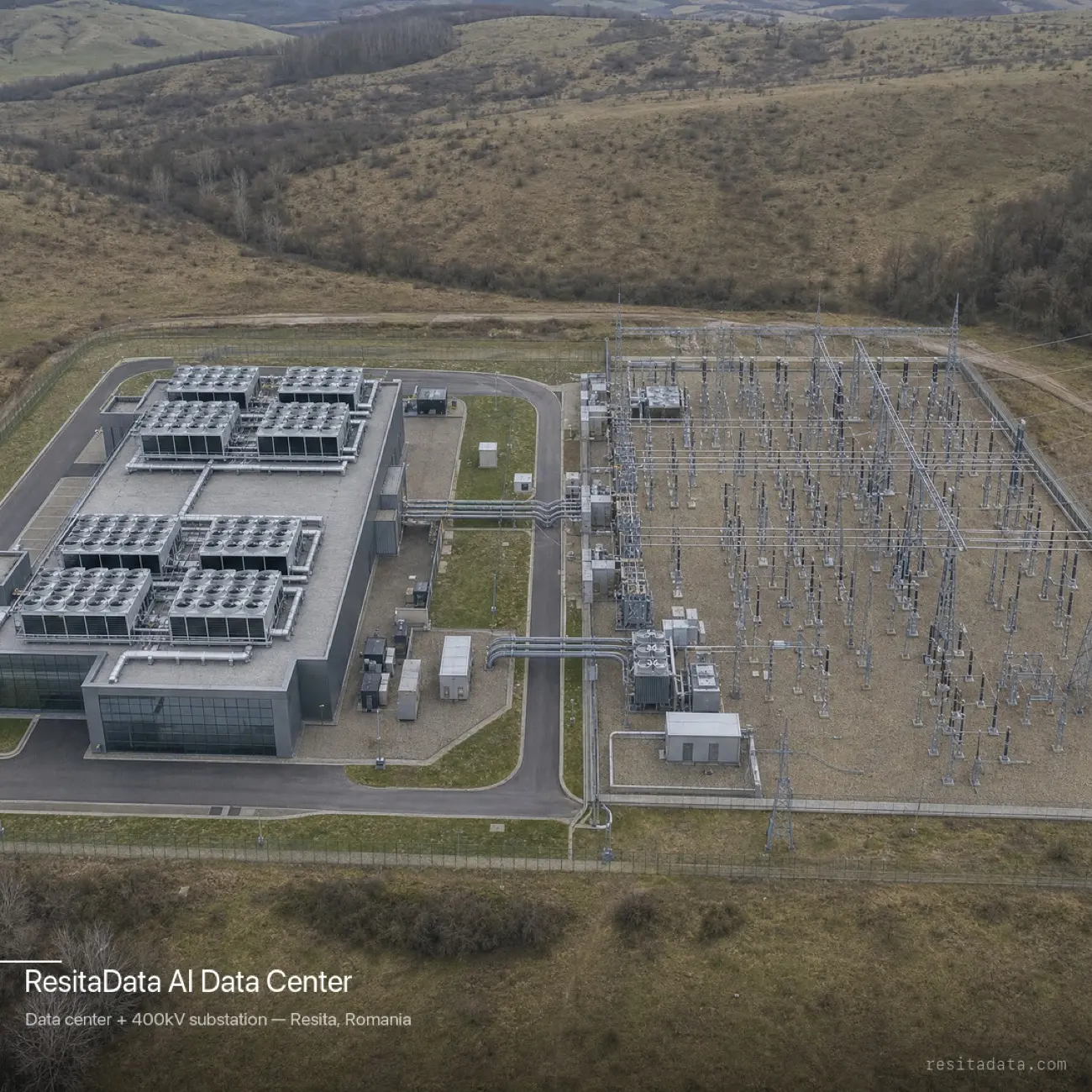
Resita Data campus — aerial render, data centre + 400kV substation, Carpathian backdrop
Phase 3 · Concept Visualisation
Campus concept (illustrative; no capacity allocated)
Wide-angle view · Carpathian backdrop
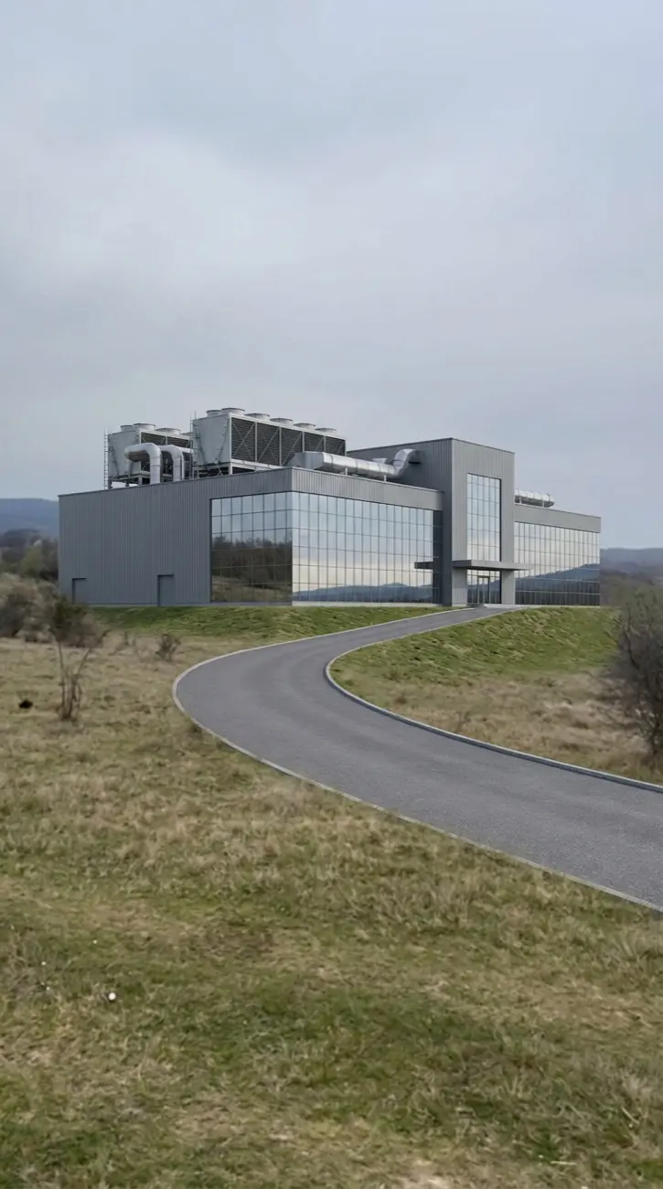
Resita Data campus vision — Phase 4 road access render on actual terrain
Phase 4 · Concept Visualisation
Campus concept · Main access
Road approach · 31 ha full campus

These visualisations are architectural concept renders, not an approved design; the actual build-out is subject to partner engagement, final concession signature, ATR completion, and planning approval. The site photography is of the actual parcel at Calea Caransebesului Km 7.5, Resita.

That's the real state of it. If it fits, talk to us.

No confirmed MW yet. Concession signature still pending. A real land position next to a live substation. If that's what you're looking for, get in touch. If it isn't, no hard feelings.